


Points of Interest:
- See a karst formation known as a “resurgence” – the one here is considered one of the best examples in the state.
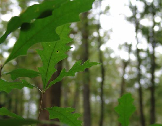
- Enjoy a short hiking trail through a forest dominated by a mix of oaks and maple.
- After a rain enjoy the spring-like flow of water from the “resurgence” into Blue Spring Branch creek.
Natural Features Description:
A resurgence is a karst formation wherein a sinkhole that ordinarily drains water into an underground stream system will back up after a heavy rain – like a storm sewer will. In the case of Ball Mill Resurgence it is a basin 20 feet in diameter which is five feet deep on the downstream end but has a 50 foot wall of limestone rock on the other side. During heavy rains water backs up in this sinkhole and will even overflow into nearby Blue Spring Branch. Inside the sinkhole when the water is roiling rocks are tumbled around and somewhat polished. Hence the name “ball mill” for this resurgence. The karst features of this natural area are part of the larger karst network found in Perry County – the county in Missouri with the highest density of caves. The underground drainage system and calcareous bedrock of Perry County is akin to a block of Swiss cheese with water moving in very complex drainage patterns.
This natural area is owned by the L-A-D Foundation (314-621-0230), which is dedicated to sustainable forest management and protection of exemplary natural and cultural areas in Missouri. Leo Drey, one of Missouri’s outstanding conservationists, began the Foundation in 1962. The Foundation’s properties also include Pioneer Forest, where sustainable forestry is practiced on more than 150,000 acres in the Missouri Ozarks. Missouri’s Natural Areas Program owes much to the pioneering work of Leo Drey and the L-A-D Foundation.
From Perryville travel north on Highway 61 and then go right (east) on Highway V. Travel north on Highway V for almost 3 miles to Saline Junction. Go right here (east) on County Road 916. Travel just over a mile on County Road 916 and look for the parking lot on your left (west). The parking lot has a trailhead for a short ¾ mile trail that loops past the resurgence.

United States