


Points of Interest:
- Enjoy the scenery of rugged hills and knobs of this landscape.
- Walk among old age trees that have stood the test of time on these weathered hills.
- Look for sprouts of the rare Ozark chinquapin.
Natural Features Description:
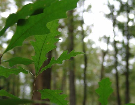
Down cutting of the White River and its tributaries like Roaring River along with geologic uplift has created the 400 feet of relief between the ridge tops and the river here. This site features a variety of environmental conditions, from dry cherty ridges and shoulder slopes to more mesic ravine bottoms. On the ridges look for post oak and black oak with blueberries in the understory. On occasion sprouts of the Ozark chinquapin occur on these cherty ridges. Unfortunately Ozark chinquapin, like American chestnut, is susceptible to the chestnut blight, a fungus that attacks tree species in the genus Castanea. The fungus is a native of Asia and arrived in the U.S. in the early 20th century. Eventually fungal spores made their way to the Ozarks after decimating the chestnut forests of Appalachia. Today the Ozark chinquapin only gets to sapling size before succumbing to the fungus. However, the tenacious rootstocks of these trees continue to resprout.
Around limestone and dolomite outcrops look for gnarled and stunted chinkapin oaks. Below the rock outcrops along the ravine bottom are more moist conditions that favor northern red oak, sugar maple and spicebush. Look for summer tanager, black-and-white warbler, and red-eyed vireo on the ridges and slopes. Down low keep a look out for wood thrush and Kentucky warbler.
This natural area is within Roaring River State Park. From Cassville travel south on Highway 112 for about 7 miles. Look for the park office on the right (west) side of the road. Inquire at the park office on accessing the natural area. One way to get to the natural area is to park at the fire tower trailhead off Highway F and hike the Fire Tower Trail that goes along the south side of the natural area. A map and compass are recommended to explore the area.
MO
United States