


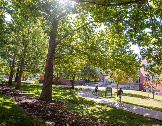

Points of Interest:
- Hike the Wilderness Trail through the hills of the natural area.
- Enjoy a variety of Ozark natural communities from dolomite glades to dry-mesic chert forest.
- Look and listen for a variety of forest and woodland songbirds.
Natural Features Description:
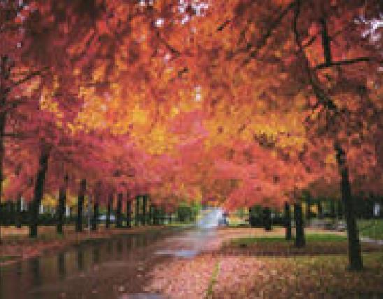
This area features mature and old second growth trees that mantle cherty hills above the Meramec River. On the south and west slopes post oak, black oak, and black hickory dominate the dry chert woodlands. Low bush blueberry is a common understory plant. On north and east slopes white oak, northern red oak and shagbark hickory dominate over a mid-story of flowering dogwood and serviceberry. In the spring look for the blooms of these small trees. Ephemeral spring wildflowers are best seen along the ravine bottoms and at the base of north and east slopes.
Punctuating the cherty woodlands are dolomite glades. In the spring on the glades look for Indian paintbrush, hoary puccoon and wild hyacinth. In the summer see cylindrical blazing star, prairie dock, and purple prairie clover in bloom. Fall brings silky aster and aromatic aster blooms.
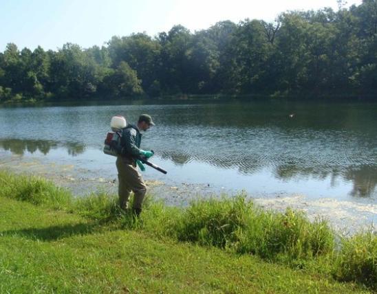
As you hike over the hills here realize that below ground is a network of caves and underground passageways. This area is a karst landscape with many sinkholes, caves and springs. One spring, Copper Hollow Spring, occurs in the natural area.
On the dry ridges look and listen for the blue-gray gnatcatcher, black-and-white warbler, and summer tanager. On the north and east slopes you might find the red-eyed vireo, worm-eating warbler and ovenbird. On the glades look for prairie and blue-winged warblers. Along the creeks you might spot a Louisiana waterthrush or Acadian flycatcher.
This natural area is within Meramec State Park. Take Interstate 44 and exit at exit 226. Head south on Highway 185 for about 3 miles to the park entrance. Turn right (south) and follow the signs to the visitor center. Inquire at the visitor center about accessing the natural area. The north loop of the Wilderness Trail provides a hiking trail into the natural area.
MO
United States